X 1 xXx ™
⬤
unesco
⬤


☆
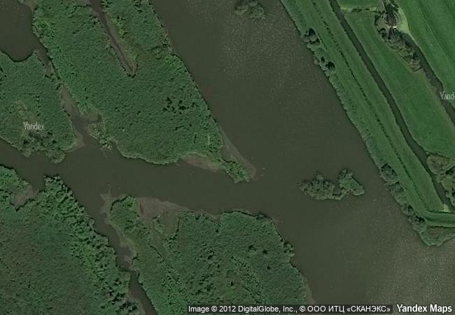
Mill Network at Kinderdijk-Elshout

Municipalities of Alblasserdam and Nieuw-Lekkerland, Province of Zuid-Holland

6.488.49 km
☆
★★★★☆
0

Mill Network at Kinderdijk-Elshout


Municipalities of Alblasserdam and Nieuw-Lekkerland, Province of Zuid-Holland
Identifier 818
states nl
category cultural
criteria (i)(ii)(iv)
Title mill network at kinderdijk-elshout
latitude 51.8824996948
longitude 4.6494441032
location municipalities of alblasserdam and nieuw-lekkerland, province of zuid-holland
Region europe and north america
year 1997
unique number 966
description the outstanding contribution made by the people of the netherlands to the technology of handling water is admirably demonstrated by the installations in the kinderdijk-elshout area. construction of hydraulic works for the drainage of land for agriculture and settlement began in the middle ages and have continued uninterruptedly to the present day. the site illustrates all the typical features associated with this technology – dykes, reservoirs, pumping stations, administrative buildings and a series of beautifully preserved windmills.
justification the committee decided to inscribe this site on the basis of criteria (i), (ii) and (iv) considering that the kinderdijk-elshout mill network is an outstanding man-made landscape that bears powerful testimony to human ingenuity and fortitude over nearly a millennium in draining and protecting an area by the development and application of hydraulic technology.
★
5.1 M

Netherlands
www.X-X-X.NAME
51,88 ° × 4,64 °

51 ° 53 ′ 57 ″ N × 4 ° 39 ′ 58 ″ E
6.488.49 km

178 ° S
Netherlands, South Holland, Nieuw-Lekkerland

North European Plain / Netherlands / South Holland / Hooge Boezem van de Overwaard / Nieuw-Lekkerland
☆
Maya Site of Copan

Copán; westernmost part of the country

2.854.99 km
☆
Prehistoric Sites and Decorated Caves of the Vézère Valley

Communes of Les Eyzies de Tayac, Tursac, Montignac-sur-Vézère, Saint-Leon-sur-Vézère, Marquay, Manaurie-Rouffignac and Saint-Cirq-du Bugue, Department of the Dordogne, Region of Aquitaine

6.600.86 km
☆
Major Town Houses of the Architect Victor Horta (Brussels)

Europe and North America

6.522.15 km
☆
Madriu-Perafita-Claror Valley

Part of Communes of Encamp, Andorra la Vella, Saint Julia de Loria and Escaldes-Engordany

6.766.27 km
☆
Pilgrimage Church of Wies

Town of Steingaden, District of Weilheim-Schongau, Region of Upper Bavaria, State of Bavaria (Bayern)

7.106.43 km
☆
Historic Centre of Évora

Province: Alentejo, District: Evora

6.261.96 km
☆
Birthplace of Jesus: Church of the Nativity and the Pilgrimage Route, Bethlehem

Arab States

9.820.87 km
☆
Itchan Kala

Khorezm region, Khiva

10.243.12 km
☆
Vegaøyan – The Vega Archipelago

Nordland, Vega

6.230.29 km
☆
Sítio Roberto Burle Marx

Latin America and the Caribbean

8.109.39 km
☆
Historic City of Trogir

County of Split-Dalmatia

7.709.88 km
☆
Masada

Europe and North America

9.862.12 km

©

1 X ™


BRAND • COM • CORP • GLOBAL • INT

AAA • BASE • GRAND • HIGH • ORIGINAL • QUALITY • TOP • UNIQUE

™X-X-X•NAME
1 X ™ unesco
Info
Map
similar
language
▼ ▼ ▼
guest


1 X
™
-5
IP : America/New_York
-5
IP : America/New_York
▼ ▼ ▼
►
►