1 X xXx
3
unesco


Cultural Landscape of Hawraman/Uramanat

Asia and the Pacific

10.194.34 km
0

Cultural Landscape of Hawraman/Uramanat


Identifier 1647
states ir
category cultural
criteria (iii)(v)
Title cultural landscape of hawraman/uramanat
latitude 35.1073570251
longitude 46.4778518677
Region asia and the pacific
year 2021
unique number 2389
description 
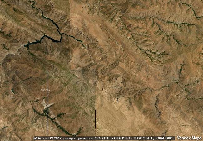
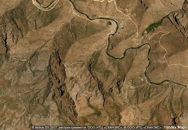
the remote and mountainous landscape of hawraman/uramanat bears testimony to the traditional culture of the hawrami people, an agropastoral kurdish tribe that has inhabited the region since about 3000 bce. the property, at the heart of the zagros mountains in the provinces of kurdistan and kermanshah along the western border of iran, encompasses two components: the central-eastern valley (zhaverud and takht, in kurdistan province); and the western valley (lahun, in kermanshah province). the mode of human habitation in these two valleys has been adapted over millennia to the rough mountainous environment. tiered steep-slope planning and architecture, gardening on dry-stone terraces, livestock breeding, and seasonal vertical migration are among the distinctive features of the local culture and life of the semi-nomadic hawrami people who dwell in lowlands and highlands during different seasons of each year. their uninterrupted presence in the landscape, which is also characterized by exceptional biodiversity and endemism, is evidenced by stone tools, caves and rock shelters, mounds, remnants of permanent and temporary settlement sites, and workshops, cemeteries, roads, villages, castles, and more. the 12 villages included in the property illustrate the hawrami people’s evolving responses to the scarcity of productive land in their mountainous environment through the millennia. 
2.8 M
(1)

Iran
www.X-X-X.NAME
35,10 ° × 46,47 °

35 ° 06 ′ 26 ″ N × 46 ° 29 ′ 40 ″ E
10.194.34 km

108 ° E>SE
Iran, Kurdistan

Iran / Zagros Mountains / Kurdistan
Orkhon Valley Cultural Landscape

Orkhon-Kharkorin Region

10.275.76 km
ǂKhomani Cultural Landscape

Africa

12.897.77 km
From the Great Saltworks of Salins-les-Bains to the Royal Saltworks of Arc-et-Senans, the Production of Open-pan Salt

Europe and North America

6.821.74 km
Þingvellir National Park

Bláskógabyggð municipality, district of Arnessysla

4.747.30 km
Pearling, Testimony of an Island Economy

Arab States

11.227.23 km
Kutná Hora: Historical Town Centre with the Church of St Barbara and the Cathedral of Our Lady at Sedlec

City and District of Kutná Hora, Central Bohemian Region

7.241.17 km
Historic Centre of Zacatecas

Zacatecas State, Zacatecas Municipality

2.653.18 km
La Chaux-de-Fonds / Le Locle, Watchmaking Town Planning

Europe and North America

6.875.83 km
Tugendhat Villa in Brno

South Moravian Region

7.367.96 km
Palace and Park of Versailles

Department of Yvelines, Ile-de-France

6.477.22 km
Citadel, Ancient City and Fortress Buildings of Derbent

Dagestan, Eastern Caucasus, Western coast of Caspian Sea

9.658.76 km
Ancient Ksour of Ouadane, Chinguetti, Tichitt and Oualata

Oudane, Chinguetti: region de l’Adrar; Tichitt: region du Tagant; Oualata: region du Hodh Echchargut

6.976.72 km

©

1 X ™


BRAND COM CORP GLOBAL INT

AAA BASE GRAND HIGH ORIGINAL QUALITY TOP UNIQUE

X-X-X•NAME
1 X ™ unesco
Info
Map
similar
language
guest


1 X
-4
IP : America/New_York
-4
IP : America/New_York