1 X xXx ™
⬤
unesco
⬤


☆
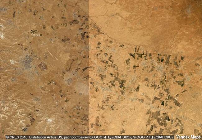
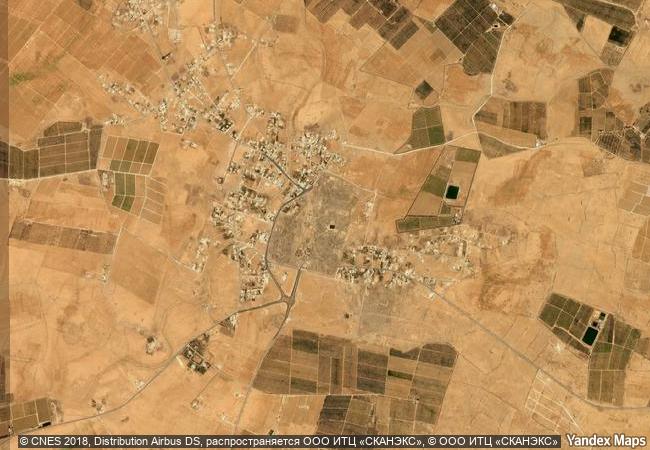
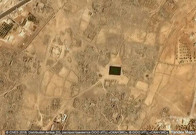
Umm Al-Jimāl

Arab States

9.843.26 km
☆
★★★★☆
0

Umm Al-Jimāl


Identifier 1721
states jo
category cultural
criteria (iii)
Title umm al-jimāl
latitude 32.3269424438
longitude 36.3699989319
Region arab states
year 2024
unique number 2539
description the property is a rural settlement in northern jordan that developed organically on the site of an earlier roman settlement around the 5th century ce and functioned until the end of the 8th century ce. it preserves basaltic structures from the byzantine and early islamic periods that represent the local architecture style of the hauran region, with some earlier roman military buildings re-purposed by later inhabitants. the settlement formed part of a broader agricultural landscape that included a complex water catchment system, which sustained agriculture and animal herding. the earliest structures uncovered at umm al-jimāl date back to the 1st century ce, when the area formed part of the nabataean kingdom. a rich epigraphic corpus in greek, nabataean, safaitic, latin and arabic uncovered on the site and spanning many centuries provides insights into its history, and sheds light on the changes in its inhabitants’ religious beliefs.
☆
6.68 M

Jordan
www.X-X-X.NAME
32,32 ° × 36,36 °

32 ° 20 ′ 37 ″ N × 36 ° 22 ′ 12 ″ E
9.843.26 km

180 ° S>SW
Jordan, Al Mafraq

Jordan / Al Mafraq
☆
Ħal Saflieni Hypogeum

Commune of Paola, Island of Malta

8.098.52 km
☆
Site of Xanadu

Asia and the Pacific

10.660.08 km
☆
Palestine: Land of Olives and Vines – Cultural Landscape of Southern Jerusalem, Battir

Arab States

9.816.78 km
☆
Þingvellir National Park

Bláskógabyggð municipality, district of Arnessysla

4.747.29 km
☆
Neolithic Site of Çatalhöyük

Europe and North America

9.189.06 km
☆
Ban Chiang Archaeological Site

Udon Thani Province

13.603.53 km
☆
Rangiri Dambulla Cave Temple

Central Province, Matale District

14.438.88 km
☆
Brasilia

Federal District

7.184.17 km
☆
The Cathedral of St James in Šibenik

County of Šibenik-Knin

7.672.06 km
☆
La Fortaleza and San Juan National Historic Site in Puerto Rico

San Juan, Puerto Rico

2.885.63 km
☆
Complex of Koguryo Tombs

Pyongyang, South Phyongan Province, Nampho, South Hwangghae Province

10.786.51 km
☆
Historic Monuments Zone of Tlacotalpan

State of Veracruz, Tlacotalpan Municipality

2.665.57 km

©

1 X ™


BRAND • COM • CORP • GLOBAL • INT

AAA • BASE • GRAND • HIGH • ORIGINAL • QUALITY • TOP • UNIQUE

™X-X-X•NAME
1 X ™ unesco
Info
Map
similar
language
▼ ▼ ▼
guest


1 X
™
-4
IP : America/New_York
-4
IP : America/New_York
▼ ▼ ▼
►
►